DRONE DATUM

da·tum [ˈdadəm, ˈdādəm] NOUN
A datum is a reference point or surface that defines the location and elevation of a point on the Earth. Datums are essential for accurate mapping and measurement of distances and areas using drones.
da·tum [ˈdadəm, ˈdādəm] NOUN
A datum is a reference point or surface that defines the location and elevation of a point on the Earth. Datums are essential for accurate mapping and measurement of distances and areas using drones.
We are a local Fort Lauderdale business focusing on
3D Mapping
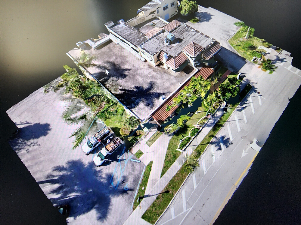
Welcome to Drone Datum, the leading drone service provider for 3D mapping. We use state-of-the-art drones and software to capture and create stunning 3D models.
Whether you need to map a large area, inspect a complex structure, monitor a construction project, or showcase a property, we can help you achieve your goals with our drone service. Explore our website to learn more about our services and portfolio. Contact us today to get a free quote and schedule a flight for your project.
Drone Datum the future is here.
Services
We offer professional drone services for a variety of applications:
- Aerial photography and videography: Capture stunning images and videos of your property or project from a unique perspective.
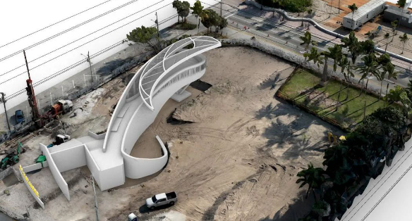
- 3D mapping: Create accurate and detailed 3D models of any site using advanced drone technology and software.
- Inspection and monitoring: Inspect and monitor hard-to-reach or hazardous areas, such as roofs, bridges, pipelines, power lines, and solar panels, with ease and safety.
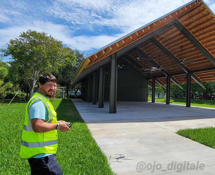
We use the latest drones and equipment to ensure the best quality and performance. We are a team of insured experienced and Part 107 certified drone operators who follow all the safety and regulatory standards. We deliver the results in a timely and cost-effective manner.
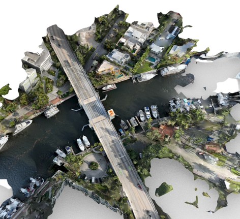
PRECISION 2D & 3D MAPPING

REALESTATE PHOTOGRAPHY
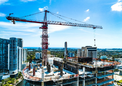
INSPECTION & MONITORING
services
aerial photography & videography
aerial views
- Real-estate Advertising
- Stunning Photography
- Aerial Views
- Advertising Videos
- Walk-Throughs
2d & 3d
mapping
precision 3d models &
2D Models
- RTK Precision
- 3D Roof Measurement
- 3D Images
mapping
3d modeling
- View Studies
- Pre/Post construction
- Aerial Imaging
- Point clouds
- To-scale Modeling
inspection & Monitoring
Construction qc
- Construction site progress monitoring
- Time lapse progression videos
Skilled Professional
Licensed & Insured
Part 107...Up to 10 million
CUTTING EDGE
Hardware & Software
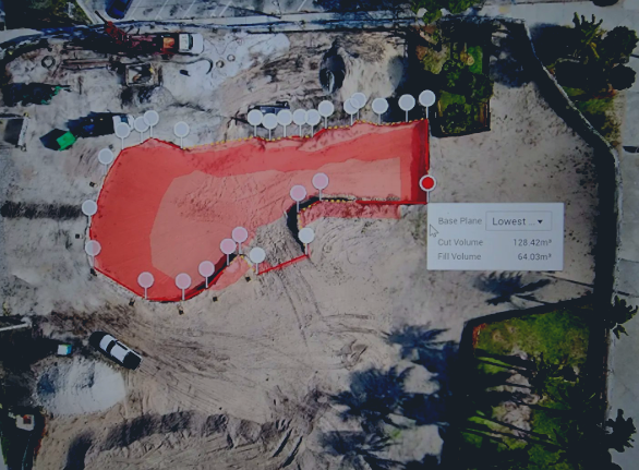

DRONE DATUM
DRONE DATUM
HOURS
All Jobs by Appointment
For questions and inquires please email us at anytime.
Stay connected
3D MAPPING
PHOTOGRAPHY

All Videos & Images Displayed on the Website were Created By Drone Datum

